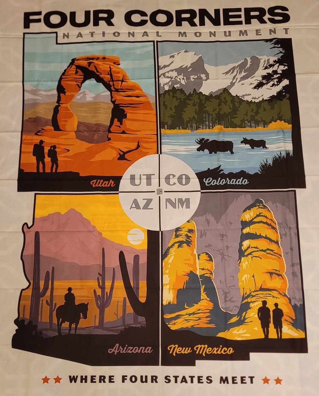
One of my hobbies is quilting and I found this fabric panel at the local quilt shop for a wall hanging. With my Four Corners of the Southwest newsletter, I just had to get it.
I love it, except it says Four Corners National Monument. It is actually Four Corners Monument Navajo Tribal Park. It’s managed by the Navajo Nation and not the National Park Service (NPS). The article below is the first one I posted at the end of May when I only had 16 subscribers, so I thought it was time for an update and a repost.
Where Four States Come Together
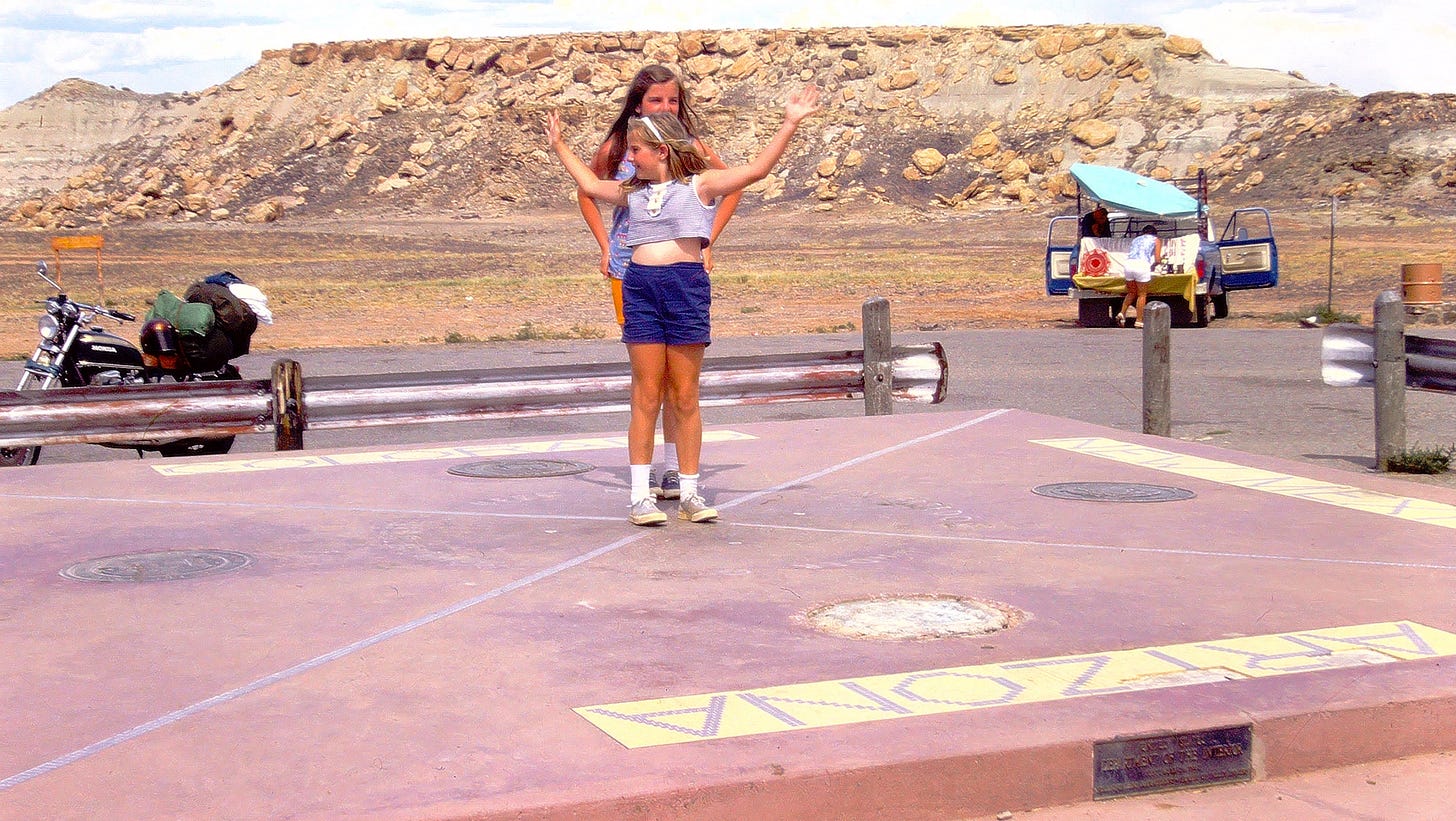
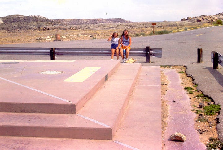
My sister and I always loved to get our pictures taken with the “You are now entering…” sign for states we were visiting. We thought we hit the jackpot when our dad drove our Ford station wagon to the Four Corners Monument back in 1974. We got to get our picture taken standing on the only point in the United States shared by four states: Arizona, Colorado, New Mexico and Utah. The monument also marks the boundary between two semi-autonomous Native American governments, the Navajo Nation, which maintains the monument as a tourist attraction, and the Ute Mountain Ute Tribe Reservation.

The Four Corners region was first claimed by Native American tribes. As the United States expanded from east to west, the area was claimed by different countries and was part of different territories with disputed borders. After the American Civil War ended, proper borders were surveyed and established with the best tools they had at the time to mark out these borders along latitudinal parallels.
Misplacement?
The original surveyors in 1868 didn't actually follow the lines of the meridian and parallel quite as accurately as they should have. Back in 2009, media reports incorrectly stated that the Four Corners Monument was in error by 2.5 miles and suggested that the monument is not at the intersection of the four states. A spokesperson for the U.S. National Geodetic Survey (USNGS) has determined that the modern monument is actually located roughly 1,800 feet (550 m) east of where the Four Corners marker had originally been intended to be. The spokesperson, however, reiterated that the official survey completed 1875 was accepted by all states and therefore its markers, including the Four Corners Monument, are legally binding.
A basic tenet of boundary surveying is that once a monument has been established and accepted by the parties involved (in the case of the Four Corners Monument, the parties were the four territories and the U.S. Congress), the location of the physical monument is the ultimate authority in delineating a boundary.
The Monument Itself
The physical monument marking the Four Corners has been rebuilt multiple times by the General Land Office and Bureau of Land Management (BLM) over the years since the original surveyors installed a seven-foot-tall sandstone shaft to mark the spot.
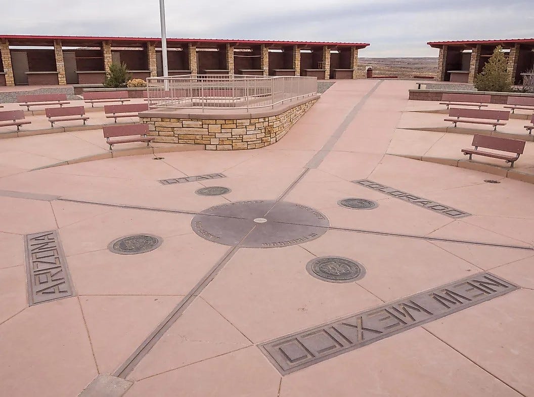
The first “permanent” marker erected in 1912, was a simple cement pad placed at the intersection of the four state boundaries. In 1962, the BLM and the Bureau of Indian Affairs poured an elevated concrete pad around the 1931 brass marker; this pad included the state border lines and names in tile. This is the one my sister and I stood on back in 1974. In 1992, the monument was refurbished with a large bronze disk embedded in granite surrounded by smaller state seals. Circling the disk, starting from Colorado, the inscription reads, with two words in each state, ‘Here meet in freedom under God four states”. There is a small survey marker at the intersection of the states (pictured below). This current monument includes a visitor plaza and is more accessible to differently abled visitors.


The monument is maintained as a tourist attraction by the Navajo Nation Parks and Recreation Department, Four Corners Monument Navajo Tribal Park.
Flags of the four states as well as the flags of the Navajo and Ute Nations are flown around the monument. The Utah state flag has recently redesigned, and you can read about it in one of my recent posts.
How to Visit
The monument is located on the Colorado Plateau west of US Highway 160, approximately 40 miles (64 km) southwest of Cortez, CO.
Around the monument, local Navajo and Ute artisans sell souvenirs and food (love me some fry bread!). An admission fee is required to view and photograph the monument. As of this writing, the fee is $8.00 per person (children under 6 are free). The monument is a popular tourist attraction despite its remote and isolated location. Note that this is not maintained by the National Parks Service so NPS annual passes are not valid here.
Check out the official website for hours of operations, holiday closures and any other important alerts.
Four Corners Monument Navajo Tribal Park | Navajo Nation Parks & Recreation
Due to its isolated geographical location, fuel, accommodation, food, other amenities and facilities are limited within 30 or so miles of the monument, which means visitors are advised to bring plenty of fuel, cash, water, food, hand sanitizer, and any other items they may need throughout the day.
Next Time
I mentioned the fact that you can purchase Navajo Fry Bread at the Four Corners Monument. It is a warm, tasty piece of pastry goodness that I enjoy whenever I find it for sale. As good as Navajo Fry Bread is, it's history and origin is quite the opposite. Fry bread is not indigenous to Native American cuisine. Instead, its origin can be traced to internment camps that arose from the forced displacement of tribes in the mid-1800s. However, in recent history, Fry Bread has become a sacred tradition and is common food at many tribal PowWows.


Love the 70’s vacation portraits--so classic! The 1992 renovation does make the site more attractive for visitors, though.
I was born in Cortez, not far from there, and like you, I have a photo of myself as a child standing on that spot. Mine was from the 1980’s, meaning it had not yet gotten the upgrade yet, and was still the 20 ft slab with state names and seals.